Saturday, September 11, 2010

Orienteering at Lebanon Hills Regional Park, Eagan

Finally another orienteering event. This spring, I had a dearth of races even though or maybe rather because orienteering kept me quite busy with setting the May Afton SP event.

I had family visiting from Belgium, my uncle Tony, his grandson Yannick and Yannick's cousin Laeticia. It was their last day in the States and I was glad when they agreed to come along. They even agreed to participate in the event, picking the orange course, while I did red.


I felt a little rusty ad a little rushed, though I am in pretty decent physical shape. After giving Tony et al. a quick intro into the art of orienteering and seeing them off, I started. As usual I did not take enough time to read the map, hustling instead from control to control, making a number of minor mistakes. E.g. I overshot C2, even though it was right on a stream which I crossed on a small bridge. After I corrected and knocked off C2, I followed the creek and various wetlands towards C3 almost stumbling over a monstrous snapping turtle. I literally vaulted over the beast, hoping it would decide to take a bite out of me. Fortunately it mad its long neck short, letting me pass unscathed.

Until C7, I was always very close to the control. C4 was a little tricky because of a little peninsula jutting out into Holland lake that looked just like the one on the map. I should have paid attention to the contour and counted reentrants instead. I damned the overgrow white areas, especially the brambles.

I made my firs major mistake heading for C8. All of a sudden I found myself on the wrong side of a narrow strait between two lakes, the little like just to the east of Jensen Lake and whatever is east of it.  After probing the ground with a stick, I decided to try my luck wading across. I was lucky, no bottomless muck or quicksand, but it is the wettest I've gotten during any O-meet, except maybe from sweat or from rain. To balance out this bad mistake, I followed it up with another one, while heading to C9. Must be that the dead fall, blackberry brambles, swamps and steep hills weren't enough of a challenge. From here on my mistakes, if any, were fortunately minor and I made it back in 1:49. Not a good time but at least I found all controls ... (Lebanon Hills Results at MNOC site)

As I was catching my breath I noticed the absence of my Belgian visitors. So I waited, chatting with club mates, always keeping a furtive eye on the direction from where I was expecting them. At long last I couldn't stand it any longer and started to do Orange backwards. at C8, I asked a pair of woman orienteerers whether they had seen an older man in the company of two youngsters. they had, just a couple of controls back, and to my big relief they also said that they looked like they knew what they were doing.  I decided to head back, picking up C7 on the way. Sure enough enough, there were Laeticia and Yannick, sitting at a picnic table reviewing their route. They had decided to call it a day after they could not find C8. Yannick trial and tribulation had been seeing a garter snake.

I wore my Inov-8 Mudclaws after taping my heels with hockey tape to prevent blisters from forming. It worked, and they did rather well at shedding the water from my wading adventure. 

Sunday, June 27, 2010

Bike Ride Eagan-Farmington-Hastings-Eagan

Nice bike outing with some colleagues from Thomson Reuters and the MN Boat Club. They were poopooing my rickety old bike but they could not drop me ... I did get that wobbly wheel fixed, though ...


Christian, Christine, Martin Carlos & Jack

Monday, June 14, 2010

Portland, OR: Back on the Wildwood Trail

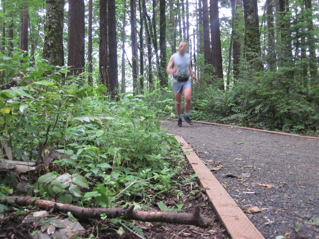
I could not resist, I had to head for Washington Park again, first, because I messed up on my original route, and second, because I loved the trails through the forest so much. Thus I found myself back on the Wildwood Trail, this time coming from Burnside St., as originally intended.


I took a different direction, heading yet further up. I asked a woman walking her lab (people with labs are nice!) if I could return to the south end of the park following the Magnolia Trail which she confirmed.


The tall firs were impressive and blocked out most of the light on this overcast morning.

As I returned to the hotel I took note of the chill, noticeable by the redness where my wet running shirt had stuck to my skin. I should have worn some warmer clothing ...

Sunday, June 13, 2010

Portland, OR: Willamette River Run

A benign run along a river. I crossed to the east bank of the river at Burnside Bridge, running a gauntlet of homeless people in their sleeping bags, bedded on either side of Burnside Ave.

Nice vistas of downtown and the environs, but the noise from Hwy 5 on the east bank of the river was a nuisance. At the Portland Opera I asked a fellow runner if I could cross the river at Ross Island Bridge. He thought it might be possible but difficult. I ran up a ramp to Hwy 5 under construction, but no way to get to the bridge. I then ran to the bridge on the river trail, hoping there might be a stairway. Non such. So I turned back and crossed at Hawthorne Bridge.


A beautiful view of downtown Portland on this glorious morning. The flat terrain and the absence of interruptions by traffic lights made for a decent pace.

Saturday, June 12, 2010

Portland, OR Jog from Embassy Suites to Washington Park

God morning for a jog, overcast but cool and dry. Woke up early because of jet lag scouted out a possible route and headed outside. I did not seem to be able to hit Burnside Street, it turned out that the intersection was just a couple of blocks north from where I started while I was heading south.

When I saw the street sign for Jefferson, my planned return route about two blocks ahead, I decided to simply strike out for the hills, abandoning my original route. I started running up Salmon St. and after  a quick dogleg Park Pl. When I saw a group of runners heading towards me, I shouted to them "Is this the way to the arboretum" to which they responded "always straight ahead." I continued uphill. Before long I reached the edge of Washington Park, right by an obelisk.


Looking down Park Ave. from the monument at south end of Washington Park


Uphill from there, some times steeper than others, like these stairs up to Parkview Dr.


Soon leveling off, when I reentered the park to run the Wildwoods Trails. Beautiful!


Back down into the valley, exiting park near Reservoir #4 and Vista Ave Bridge.


Returning along the home stretch, Willamette River, here at Hawthorne Bridge.

Sunday, June 6, 2010

Harriet Island-Mendota Bridge Bike Ride


Beautiful afernoon bike ride with Lynn, Peggy and Joel. It seems we were always a nose length ahead of some sprinkles and immediately after out return it began raining in ernest. We celebrated our accomplishment with ice cream at Creamy Cone at Maryland and Dale.


Sunday, May 16, 2010

Setting Courses for May 16, 2010 Orienteering Meet at Afton SP 2


The following table shows the setter-vetter interaction after course design and placement of tape at the controls. 

Contr.
#
Initial Check by Vetter
Response/Action Setter
After field review, Setter and Vetter
Final

120

The tape is slightly east, at stream junction

Yes, it is intersection of ditch and stream, not stream junction

I see what you mean, it's at the stream junction, moving circle
to junction


126

The tape is at the bend of the ditch. Circle should be moved
east

I think the circle should be movedwest, to the bend.

Corrected on map, moved circle to bend

Agreed, it is to west.

203

I did not find the tape. I placed a tape at the boulder right at
the re-entrant. The clue would be NE boulder or maybe more correct NE small
rock face. The fence is mostly gone. It is not really a boulder field . On
the map it drawn as boulders, but it is more like small rock face. We could
also use the reentrant. That might be more "clean".

Missed this comment and agreed to proposed change.

On day before event, I could not find Vetter’s tape Felt that I
had placed control too low in reentrant and alerted vetter

Vetter, on day of event: moved control higher in reentrant

204

The tape was sitting in a re-entrant SE of the correct. The re
entrant where you place the tape should have been on the map more clear. I
put a tape in the re-entrant where I think it should be. An alternative to
this control location could be the re-entrant just N of 204. A side re
entrant to the big re entrant with the gully I put a tape there also. I think
that could work for red also? Then there would be no problem with the map.

Agreed to use the reentrant N of original location. Did not
understand which of one of two side reentrants was used and needed to send
Purple Pen file to printer. Of course I picked the wrong one.

Fortunately, the reentrant I had picked was self-explanatory.
Placed control


209

The tape is located slightly further down in the reentrant,
outside the open. So maybe move the circle slightly west

Moved circle to W

Confirmed


213

Tape is on the boulder field  just North of the circle

Moved circle to N boulder field

Confirmed


214

Could not find tape. I hung a tape where I think it should be.

OK, I'll check

Tape found, also original tape, in wrong reentrant


224

Clue North East side

Moved circle slightly NE and added clue

Confirmed


226

I did not find tape. Also it is not well defined where control
should be. I would move the control to the Hill top North east of there. I
put a tape there.

Moved circle to hilltop NE

Confirmed


232

I have problems with this control. If you take it from the road
south of there is seems to be right, but when you take a compass reading
going north it is not right. I think the tape is on the wrong spur, it is too
close to the ditch. Also think the map is wrong. I would suggest not to use
this control.  Maybe use 214 as the third on Brown

Agreed, I'll use 214

but:

Problem: if we switch #232 to #214, Brown #3 to #4 goes through
the camp sites, which is off limits. Any thoughts?

Not good Here is a suggestion #1 221,#2 202 #3 203 #4 204 #5 225
#6 226 #7 227 #8 231  That is about 4 Km Which should be enough for
Brown in Afton?

Changed course in accordance with vetter's suggestion.

234

Maybe clue should be manmade feature


Moved circle to man-made feature and changed spur to secondary
in clue

Confirmed


Some other observations:
  • I am glad my first event was a spring event. When I was flagging the course on April 14, the undergrowth was still without leaves. It would have been more difficult to set in a late spring or summer forest. I would suggest to pay a visit for a fall event in early spring
  • In case of doubt, ask. The Afton site is odd in that it resembles a huge slice of bread with a big bite taken out the left (or W) side. That bite is of course Afton Alps Ski Area and Golf Course. MNOC is working with the State Park and has to get separate permissions from the ski area. To the best of my knowledge, none of the controls were on ski area property. However, the road connecting the different parking lot provided a natural shortcut between several of the controls. Thus, we should have gotten permission to at least skirt that portion of ski area property.